Windsor Forest, Georgia Weather
No Watches or Warnings for Windsor Forest
Issued: 2:13 pm EDT May 4, 2024 Latitude: 33.5020799 Longitude: -82.0048384 View on Google Maps
|
|
|
|
|
|
|
|
|
|
|
 |
 |
 |
 |
 |
 |
|
 |
|
| High: °F |
Low: °F |
High: °F |
High: °F |
High: °F |
High: °F |
High: °F |
High: °F |
High: °F |
| Low: °F |
Low: °F |
Low: °F |
Low: °F |
Low: °F |
Low: °F |
|
| Thunderstorms |
Thunderstorms |
Thunderstorms |
Thunderstorms |
Mostly Sunny |
Sunny |
Mostly Sunny |
Thunderstorms |
Mostly Sunny |
Current Conditions at
AUGUSTA DANIEL FIELD - (KDNL)
77°
Clear
as of 3:53 PM EDST
Rel. Humidity: 73%
Dew Point: 68°F
Visibility: 10 Miles
Pressure: 30.02 in.
Flight Rule: VFR
Wind Data
9 MPH
150° Southeast
Cloud Level(s): Clear
Current Conditions at
AUGUSTA BUSH FIELD - (KAGS)
79°
Mostly Clear
as of 3:53 PM EDST
Rel. Humidity: 69%
Dew Point: 68°F
Visibility: 10 Miles
Pressure: 29.99 in.
Flight Rule: VFR
Wind Data
7 MPH
150° Southeast
Cloud Level(s): Few at 1700ft
Current Conditions at
THOMSON - (KHQU)
75°
Partly Cloudy
as of 3:55 PM EDST
Rel. Humidity: 78%
Dew Point: 68°F
Visibility: 10 Miles
Pressure: 30.02 in.
Flight Rule: VFR
Wind Data
6 MPH
230° Southwest
Cloud Level(s): Scattered at 1600ft
Current Conditions at
WASHINGTON-WILKES A/P - (KIIY)
75°
Cloudy
as of 3:55 PM EDST
Rel. Humidity: 73%
Dew Point: 66°F
Visibility: 10 Miles
Pressure: 30.02 in.
Flight Rule: VFR
Wind Data
3 MPH
210° Southwest
Cloud Level(s): Scattered at 2200ft, Scattered at 2900ft, Solid Overcast at 9000ft
|
This Afternoon... Showers likely and possibly a thunderstorm. Cloudy, with a high near 77. South wind around 7 mph. Chance of precipitation is 70%. New rainfall amounts of less than a tenth of an inch, except higher amounts possible in thunderstorms. |
|
|
Tonight... Showers likely and possibly a thunderstorm before 1am, then scattered showers and thunderstorms after 1am. Cloudy, with a low around 65. Southeast wind 3 to 6 mph. Chance of precipitation is 70%. New rainfall amounts between a quarter and half of an inch possible. |
|
|
Sunday... A chance of showers and thunderstorms, mainly after 3pm. Partly sunny, with a high near 85. Calm wind becoming southwest around 5 mph. Chance of precipitation is 40%. New rainfall amounts between a tenth and quarter of an inch, except higher amounts possible in thunderstorms. |
|
 |
Sunday Night... A chance of showers and thunderstorms before 2am, then a slight chance of showers. Mostly cloudy, with a low around 65. Light south wind. Chance of precipitation is 30%. New rainfall amounts between a tenth and quarter of an inch, except higher amounts possible in thunderstorms. |
|
|
Monday... A chance of showers before 11am, then a chance of showers and thunderstorms between 11am and 2pm, then showers likely and possibly a thunderstorm after 2pm. Partly sunny, with a high near 84. Light and variable wind becoming southwest 5 to 9 mph in the morning. Chance of precipitation is 70%. New rainfall amounts between a tenth and quarter of an inch, except higher amounts possible in thunderstorms. |
|
 |
Monday Night... Showers likely and possibly a thunderstorm before 8pm, then a chance of showers and thunderstorms between 8pm and 2am. Mostly cloudy, with a low around 65. Chance of precipitation is 60%. New rainfall amounts of less than a tenth of an inch, except higher amounts possible in thunderstorms. |
|
|
Tuesday... Mostly sunny, with a high near 89. |
|
 |
Tuesday Night... Mostly clear, with a low around 69. |
|
|
Wednesday... Sunny, with a high near 92. |
|
 |
Wednesday Night... Partly cloudy, with a low around 70. |
|
|
Thursday... Mostly sunny, with a high near 92. |
|
|
Thursday Night... A chance of showers and thunderstorms. Mostly cloudy, with a low around 68. Chance of precipitation is 30%. |
|
|
Friday... A chance of showers and thunderstorms. Partly sunny, with a high near 85. Chance of precipitation is 50%. |
|
|
Friday Night... Partly cloudy, with a low around 61. |
|
|
Saturday... Mostly sunny, with a high near 79. |
|
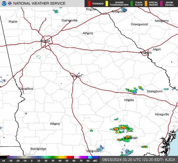
Current Radar Image
Sun Almanac for Windsor Forest, Georgia
Sunrise: 06:36 AM
Sunset: 8:14 PM
Civil Sunrise:06:09 AM
Civil Sunset: 8:40 PM
Nautical Sunrise: 05:37 AM
Nautical Sunset: 9:12 PM
Astro Sunrise: 05:03 AM
Astro Sunset: 9:46 PM
Georgia's Current Temperatures
 Georgia's Satellite Image
 Georgia's Current Wind Direction
| National Summary |
of upper and lower values of current conditions amongst 5240 locations
in the contiguous United States |
|
High
Temp |
93° |
Plant City Municipal A/P, Florida
|
|
Low
Temp |
34° |
Klamath Falls, Oregon
and 1 other location
|
|
Wind
Speed |
30mph |
Salida Mountain, Colorado
|
|
Wind
Gust |
35mph |
Pine Bluffs Municipal, Wyoming
and 3 other locations
|
|
Wind
Chill |
22° |
Berthoud Pass, Colorado
|
|
Heat
Index |
109° |
Ft Rucker/Hanche, Alabama
|
|
High
Pressure |
30.39Hg |
Lawrence, Massachusetts
|
|
Low
Pressure |
29.47Hg |
Bend Municipal A/P, Oregon
|
|
| # Locations Reporting Snow |
2 |
|
| # Locations Reporting Rain |
109 |
|
| # Locations Reporting Thunderstorms / Lightning |
18 |
|
| # Locations Reporting Fog |
3 |
|
| Average Temperature in the Contiguous USA |
67° |
|
Any use of the information on this page is at your own risk. This information should not be relied upon in life-threatening situations, potential financial loss situations or in lieu of any officially disseminated information. Visit the
National Weather Service for official information.